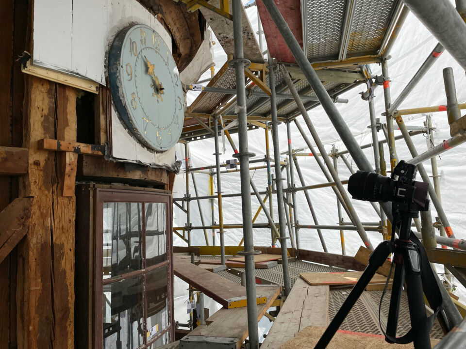
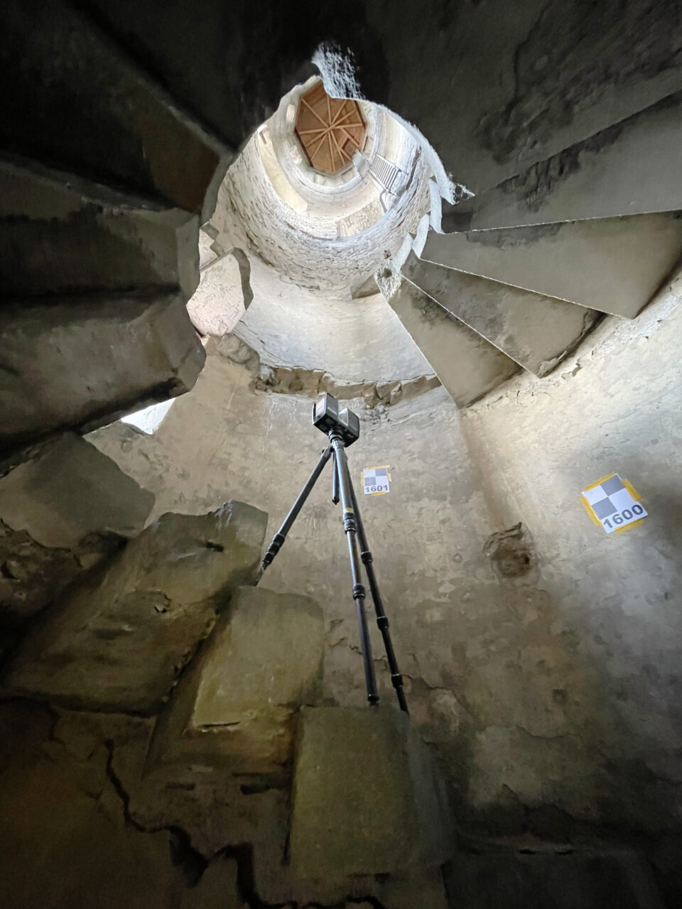
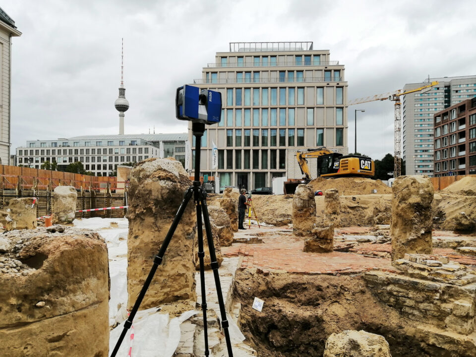
3D laser scanning – Photogrammetry – Tachymetry
Any combination of these procedures enables us to find the right solution for you.
Of course, price is the key factor in making your choice. This means we can work with you in deciding what information is important to you and the best way of measuring it.
Minimising costs
Using 3D laser scanning makes it possible to record comprehensive property information within a short space of time. This reduces the cost of on site workers. The collected data forms the basis for a data pool which offers you a wide range of possible evaluation methods. Moreover, plans can then be produced from the scanned property data, even at a later date, and without having to engage on site support.


